E3 Sharing Space for Nature

Featured story

South East Nature Recovery Networks

E3 Sharing Space for Nature

The Royal Society report on Multifunctional Landscapes predicts the UK will need 4.4 million ha of additional land (18% of the total country) to achieve carbon net zero through forest restoration/creation and nature recovery. In England, county-level Local Nature Recovery Strategies will be the main implementation mechanism, producing habitat maps that will be updated every three to ten years and underpin all local spatial planning.

South East England has the country’s highest biodiversity levels and development pressures, so our research in this area can inform action across the nation. We will also develop an England-wide Community of Practice in systematic conservation planning for researchers and practitioners, and work with policy makers at the national level to identify how best to link local- and national-level targets.
Projects

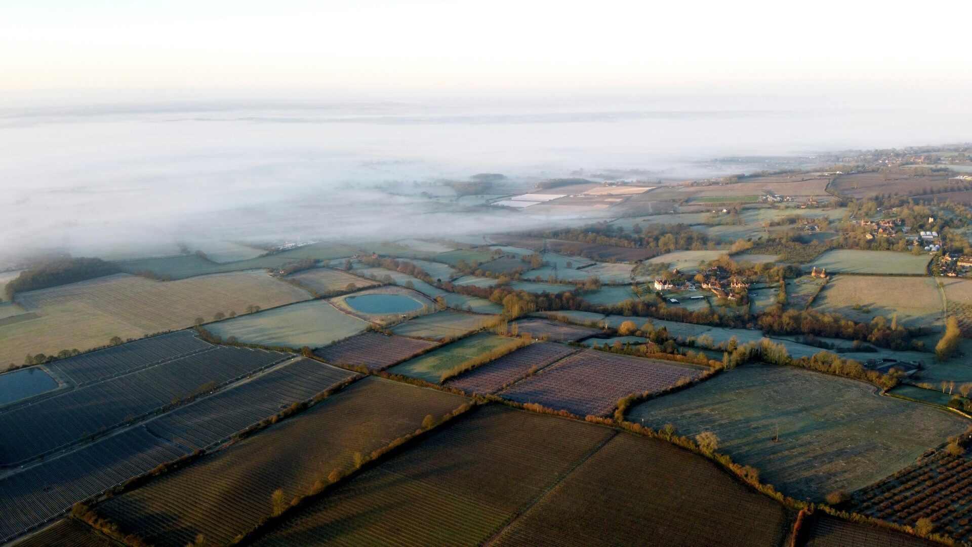
An aerial shot of a UK

E3 team: Dr Dave Seaman, Dr Laura Kor, Professor Bob Smith

Funded by The Woodland Trust

The Midlands Forest Network (MFN) is an initiative to create a connected network of woodlands, trees, and hedgerows across the English Midlands. During the Network’s two-year development phase, the DICE Innovation Team were commissioned to lead on spatial evidence and mapping. We applied systematic conservation planning (SCP) to identify where woodland creation and management could deliver the greatest benefits for nature, people, and business. Working closely with partners and stakeholders, we undertook spatial prioritisation that integrated biodiversity, ecosystem services, social need, and connectivity. The resulting maps and evidence base are guiding future investment and nature recovery action across the region.

For more information, read a blog about the project.

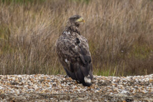
A white tailed eagle

White tailed eagle | Stephen Egerton-Read (Forestry England)

E3 team: Dr Mohammad Farhadinia, Dr Daniel Ingram and Dr Mahmood Soofi

Conservation translocations, the intentional movement of species for conservation, are increasingly used to restore biodiversity, recover locally extinct populations, and support rewilding. However, standardised methods for evaluating their success remain limited. This project aims to develop Key Performance Indicators (KPIs) for assessing conservation translocations. In collaboration with the IUCN Conservation Translocation Specialist Group and the England Species Reintroductions Taskforce, the initiative utilises over 400 case studies, plus consultation with researchers and practitioners worldwide. The resulting KPI framework is intended to help policymakers, practitioners, and researchers evaluate conservation outcomes more consistently and improve the effectiveness of future translocation and rewilding programmes.

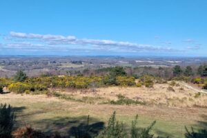
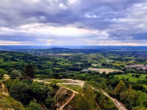
High Weald | Laura Kor

E3 team: Dr Laura Kor and Emily Rampling

Funded by East Sussex County Council

Across England, local nature recovery strategies (LNRS) are being developed to deliver national biodiversity commitments. Understanding how they interact with existing conservation frameworks is therefore increasingly important. In a project commissioned by the High Weald National Landscape Partnership, DICE Biodiversity Consulting evaluated the alignment between the High Weald’s statutory Management Plan and the emerging strategies of four overlapping LNRS areas across Kent, Surrey and Sussex. Through document review and stakeholder engagement, the study identified broad alignment in biodiversity priorities while highlighting challenges around cross-boundary coordination, spatial mapping, habitat enhancement versus creation, and translating national targets into local action. Recommendations were provided to support more coherent and effective landscape-scale nature recovery.

Reports and Resources