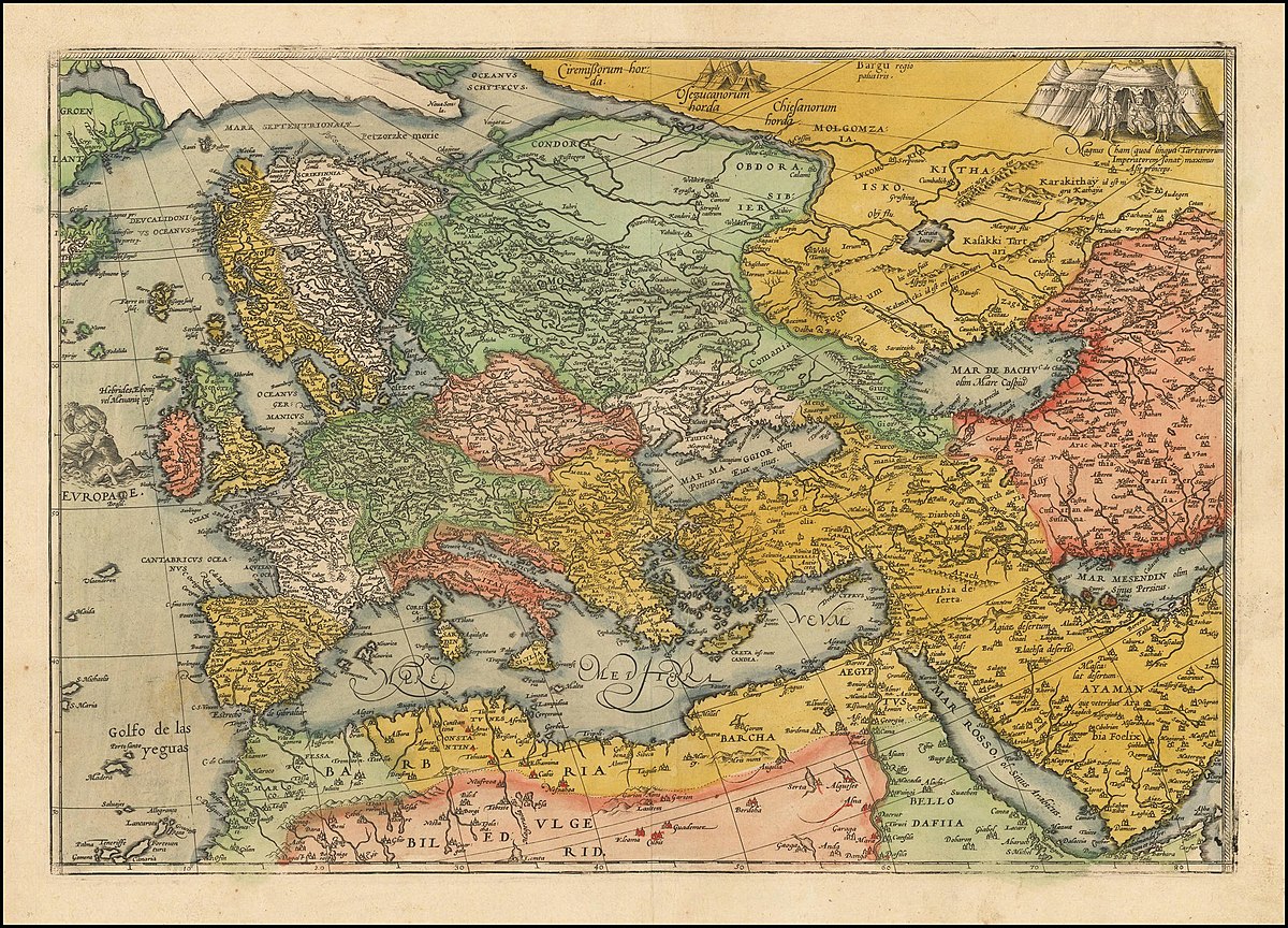
Robyn Dora Radway, Central European University
This talk argues that early modern hand-colored cartographic prints reveal the biases and limits of geographic literacy attained by sixteenth- and seventeenth-century consumers of printed atlases. Works like Abraham Ortleius’s Theatrum Orbis Terrarum and Gerrit van Schagen’s Atlas minor left printers’ workshops as a series of uncolored projections surrounded by a textual apparatus. Importantly, these originals were devoid of instructions for adding color and their use of boundary lines was notoriously inaccurate and inconsistent. Consumers commissioned illuminators (Briefmaler) to decorate their atlases, thereby raising their aesthetic and monetary value. While some copies were painted by knowledgeable professionals connected to printing workshops who followed the high standards established by editors and geographers producing the works, others colored according to their own often limited understanding of political geography. Taking several examples of Europe, Germania, and its neighboring polities, I show how the political geography of atlas consumers was highly subjective, relational, and imbedded in ongoing discourses about legitimacy, legal status, and notions of belonging. How did early modern illuminators understand central Europe and its boundaries? Comparing different surviving copies of these atlases reveals that a remarkable range of opinions circulated simultaneously.
