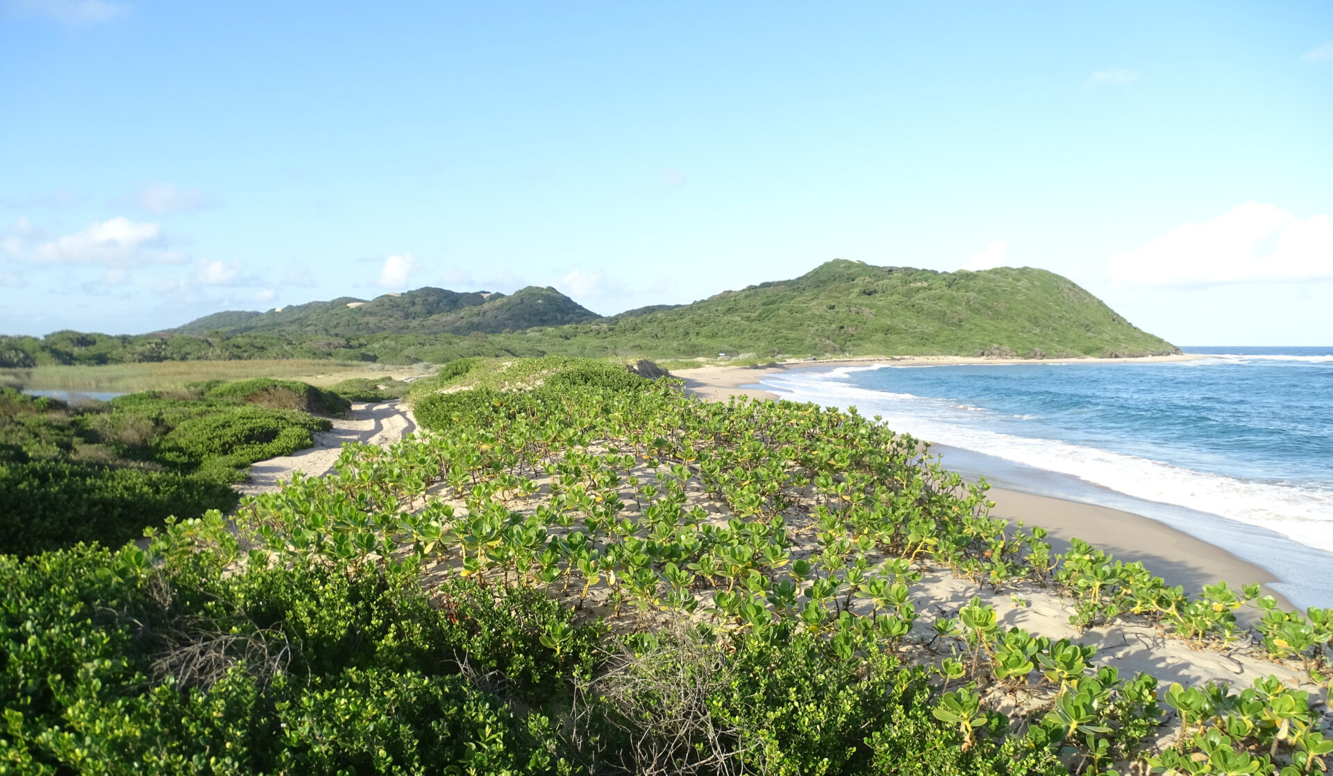
The Maputaland conservation planning system is a decision-support tool for guiding action in the Maputaland Centre of Endemism, a region that falls within Eswatini, Mozambique and South Africa.
This project produced a conservation planning system for the Maputaland Centre of Endemism, a region that covers parts of Eswatini, Mozambique and South Africa. Working with a range of partners, we identified priority areas for new community-based ecotourism projects that would conserve the region’s globally important biodiversity.
The Maputaland Conservation Planning System was developed by the Eswatini National Trust Commission, Administração Nacional das Áreas de Conservação, Ezemvelo KwaZulu-Natal Wildlife, the University of Eswatini, Universidade Eduardo Mondlane and DICE at the University of Kent. All Out Africa, Izele CIC and KUWUKA JDA also played a key role, together with technical experts from a number of different organisations. The work was funded by the UK Government through the Darwin Initiative (Project #25-003), the Royal Botanic Gardens, Kew, and the University of Kent.
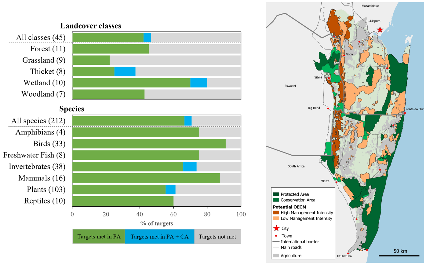
Planning system overview and outputs
Executive Summary: Designing an ecological network for biodiversity and ecotourism in Maputaland
Sumário Executivo: Projectando uma rede ecológica para biodiversidade e ecoturismo em Maputaland
Maputaland conservation planning system files
Maputaland Conservation Planning System files
Darwin Initiative project overview
Conservation social networking, ecotourism and land-use planning in Maputaland, southern Africa